
קובץ:Assam locator map.svg

גודל התצוגה המקדימה הזאת מסוג PNG של קובץ ה־SVG הזה: 734 × 600 פיקסלים. רזולוציות אחרות: 294 × 240 פיקסלים | 587 × 480 פיקסלים | 940 × 768 פיקסלים | 1,253 × 1,024 פיקסלים | 2,506 × 2,048 פיקסלים | 2,393 × 1,956 פיקסלים.
לקובץ המקורי (קובץ SVG, הגודל המקורי: 2,393 × 1,956 פיקסלים, גודל הקובץ: 264 ק"ב)
| זהו קובץ שמקורו במיזם ויקישיתוף. תיאורו בדף תיאור הקובץ המקורי (בעברית) מוצג למטה. |
| כותר |
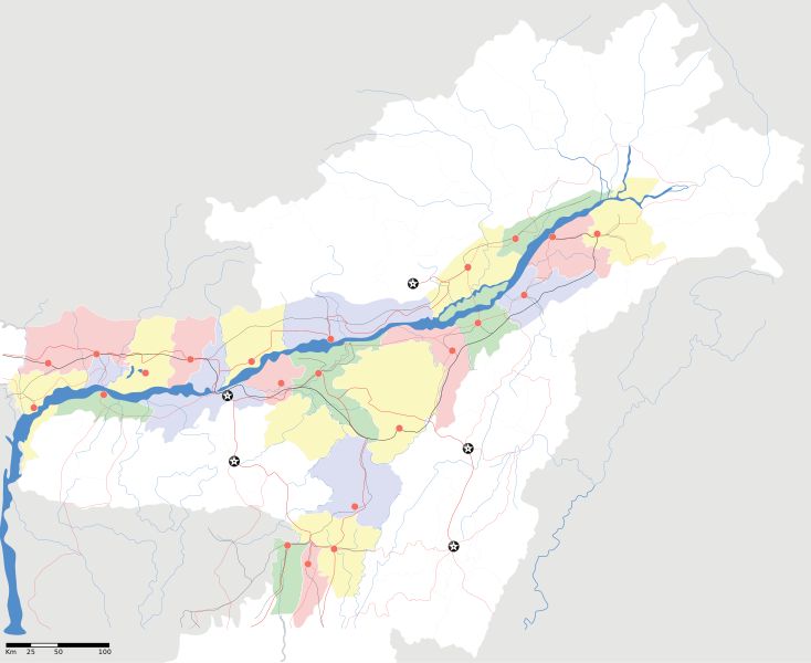
Assam locator Map |
||
| תיאור |
Map of w:Assam with road and rail lines. Coordinates: top=29.49, bottom=23.74, left=89.61, right=97.52. অসমীয়া: ৰেলপথ, যাত্ৰাপথ সমন্বিতে অসমৰ মানচিত্ৰ, স্থানাংক: ওপৰ=২৯.৪৯, তল=২৩.৭৪, বাও=৮৯.৬১, সো=৯৭.৫২। |
||
| תאריך יצירה | |||
| מקור |
נוצר על־ידי מעלה היצירה |
||
| יוצר |
|
||
| אישורים והיתרים (שימוש חוזר בקובץ זה) |
אני, בעל זכויות היוצרים על עבודה זו, מפרסם בזאת את העבודה תחת הרישיון הבא: הקובץ הזה מתפרסם לפי תנאי רישיון קריאייטיב קומונז ייחוס-שיתוף זהה 3.0 לא מותאם.
|
||
| Geotemporal data | |||
| תאריך מתואר | במחצית השנייה של המאה ה-20 ו- המאה ה-21 | ||
| Georeferencing | If inappropriate please set warp_status = skip to hide. | ||
| Archival data | |||
| הערות | Part of WikiProject India Maps | ||
היסטוריית הקובץ
ניתן ללחוץ על תאריך/שעה כדי לראות את הקובץ כפי שנראה באותו זמן.
| תאריך/שעה | תמונה ממוזערת | ממדים | משתמש | הערה | |
|---|---|---|---|---|---|
| נוכחית | 21:53, 16 באפריל 2007 | | 1,956 × 2,393 (264 ק"ב) | Planemad | |
| 21:36, 15 באפריל 2007 |  | 1,956 × 2,393 (215 ק"ב) | Planemad | ||
| 20:20, 13 באפריל 2007 |  | 1,956 × 2,393 (206 ק"ב) | Planemad | colored | |
| 19:56, 13 באפריל 2007 |  | 1,956 × 2,393 (216 ק"ב) | Planemad | crop fix | |
| 19:55, 13 באפריל 2007 |  | 1,975 × 1,591 (216 ק"ב) | Planemad | {{WikiProject_India_Maps |Title=Assam locator Map |Description=Map of w:Assam with road and rail lines |Source= [http://www.iitg.ernet.in/rcilts/assam_political.jpg IIT Guwahati - Assam Political map] |Date=April 2007 |Author=w:user:Planemad }} [ |
שימוש בקובץ
![]() אין בוויקיפדיה דפים המשתמשים בקובץ זה.
אין בוויקיפדיה דפים המשתמשים בקובץ זה.
שימוש גלובלי בקובץ
אתרי הוויקי השונים הבאים משתמשים בקובץ זה:
- שימוש באתר ar.wikipedia.org
- שימוש באתר as.wikipedia.org
- তেজপুৰ
- বৰপেটা
- যোৰহাট
- উত্তৰ লখিমপুৰ
- কামাখ্যা মন্দিৰ
- সদস্য:Anshuman.jrt/নলবাৰী
- সদস্য:Anshuman.jrt/শিলচৰ
- মাধৱ থান
- শিৱসাগৰৰ শিৱদৌল
- আউনীআটী সত্ৰ
- গহপুৰ
- শ্ৰী শ্ৰী বটদ্ৰৱা থান
- ঢেকীয়াখোৱা বৰনামঘৰ
- সাঁচ:Location map India Assam
- মহাভৈৰৱ মন্দিৰ
- সদস্য:Psneog/infobox mandir
- সদস্য:Vssun/test
- বিশ্বনাথ চাৰিআলি
- তিনিচুকীয়া
- নগাঁও
- বঙাইগাঁও
- ঢকুৱাখনা
- নাৰায়ণপুৰ
- ৰঙিয়া
- পাঠশালা
- নেঘেৰিটিং শিৱদৌল
- বদলা পদ্ম আতা সত্ৰ
- মাঘনোৱা দ’ল
- কাজিৰঙা ৰাষ্ট্ৰীয় উদ্যান
- বৰদৈবাম বিলমুখ পক্ষী উদ্যান
- বিহপুৰীয়া (নগৰ)
- কোকৰাঝাৰ
- কৰিমগঞ্জ
- হাৰিভাংগা
- সোণাৰি
- দ'দান থান
- কমাৰকুছি থান
- কৈহাটী
- মাণিকপুৰ
- পবিতৰা অভয়াৰণ্য
- মঙলদৈ
- মানস ৰাষ্ট্ৰীয় উদ্যান
- নামৰূপ
- জাতিংগা
- গুপ্তেশ্বৰ দেৱালয়
- শ্ৰী শ্ৰী আঠখেলীয়া নামঘৰ
- হোলোঙাপাৰ গিবন অভয়াৰণ্য
- গৰমপানী অভয়াৰণ্য
- তিতাবৰ মহকুমা