
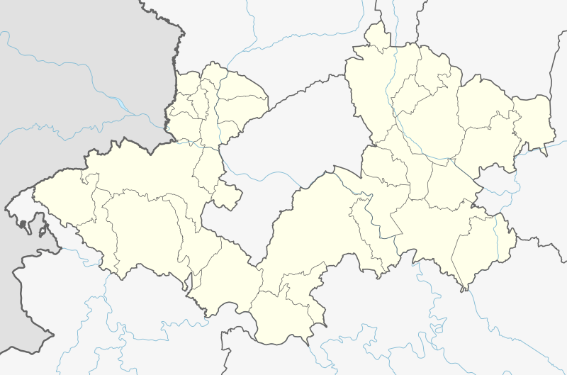
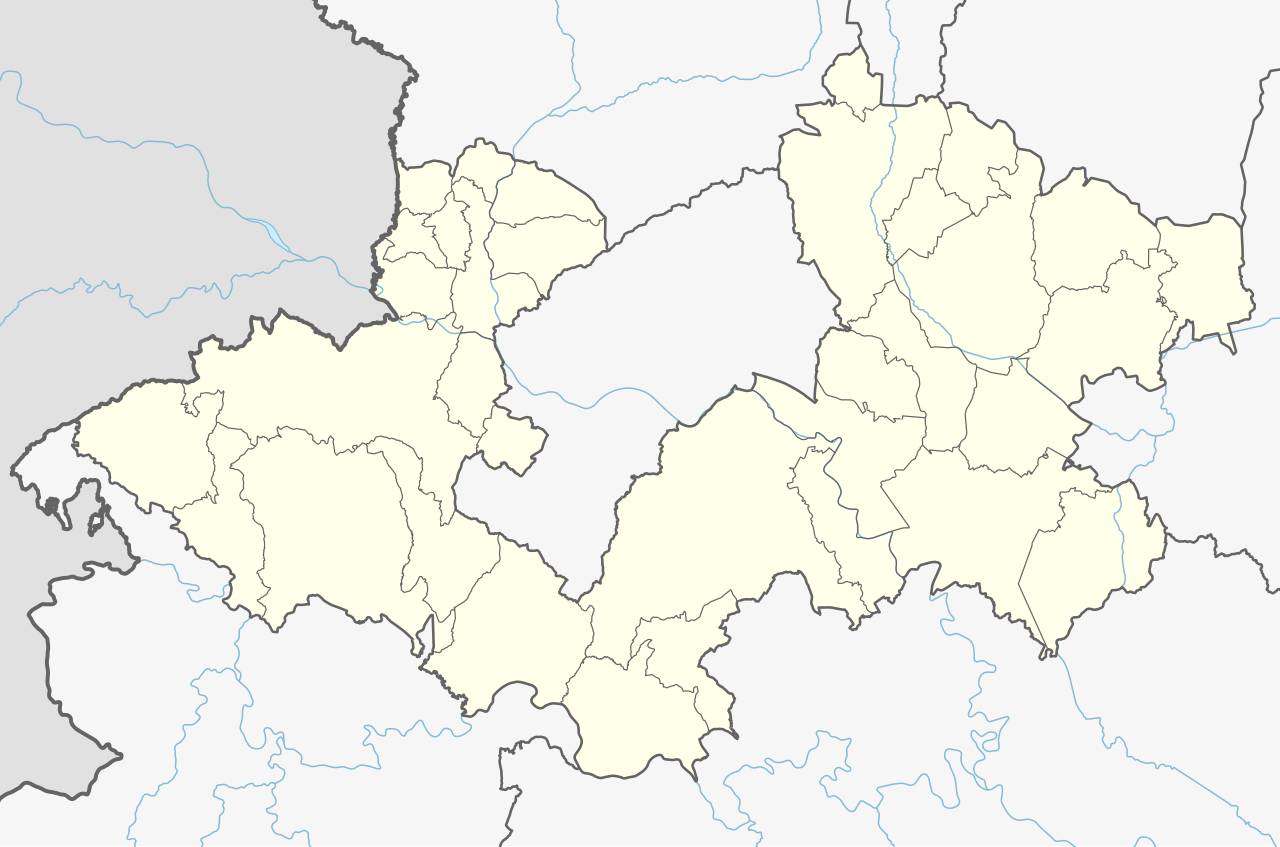
קובץ:Croatia Zagreb County adm location map.svg

לקובץ המקורי (קובץ SVG, הגודל המקורי: 1,192 × 788 פיקסלים, גודל הקובץ: 478 ק"ב)
| זהו קובץ שמקורו במיזם ויקישיתוף. תיאורו בדף תיאור הקובץ המקורי (בעברית) מוצג למטה. |
תקציר
| תיאור |
Deutsch: Positionskarte der Gespanschaft Zagreb, Kroatien
English: Location map of Zagreb County, Croatia
|
||||||||||||
| תאריך יצירה | |||||||||||||
| מקור |
נוצר על ידי מעלה היצירה, תוך שימוש: |
||||||||||||
| יוצר | NordNordWest and OpenStreetMap contributors | ||||||||||||

|
This map has been made or improved in the German Kartenwerkstatt (Map Lab). You can propose maps to improve as well.
|
רישיון
Usage of this file with:

explanatory notes: Legally binding is only the full legalcode. For a free usage I recommend to respect the following licence conditions:
1. Provide my name as given above: NordNordWest,
2. a copy of, or the URI for, the applicable license: https://creativecommons.org/licenses/by-sa/3.0/de/legalcode,
3. the title of the work,
4. in the case of an adaptation, a credit identifying the use of the work in the adaptation.
This license and the rights granted hereunder will terminate automatically upon any breach by you of the terms of this license. Any of the above conditions can be waived if you get permission from the copyright holder. If you have questions or wish differing conditions, please contact me through nnwest or my discussion page ![]() t-online.de
t-online.de
- הנכם רשאים:
- לשתף – להעתיק, להפיץ ולהעביר את העבודה
- לערבב בין עבודות – להתאים את העבודה
- תחת התנאים הבאים:
- ייחוס – יש לתת ייחוס הולם, לתת קישור לרישיון, ולציין אם נעשו שינויים. אפשר לעשות את זה בכל צורה סבירה, אבל לא בשום צורה שמשתמע ממנה שמעניק הרישיון תומך בך או בשימוש שלך.
- שיתוף זהה – אם תיצרו רמיקס, תשנו, או תבנו על החומר, חובה עליכם להפיץ את התרומות שלך לפי תנאי רישיון זהה או תואם למקור.

היסטוריית הקובץ
ניתן ללחוץ על תאריך/שעה כדי לראות את הקובץ כפי שנראה באותו זמן.
| תאריך/שעה | תמונה ממוזערת | ממדים | משתמש | הערה | |
|---|---|---|---|---|---|
| נוכחית | 21:58, 22 בפברואר 2023 | | 788 × 1,192 (478 ק"ב) | NordNordWest | c |
| 21:53, 12 בדצמבר 2022 |  | 788 × 1,192 (477 ק"ב) | NordNordWest | == {{int:filedesc}} == {{Information |description= {{de|1=Positionskarte der Gespanschaft Zagreb, Kroatien}} {{en|1=Location map of Zagreb County, Croatia}} {{Location map series N |stretching=–|top=46.1055055|bottom=45.4147111|left=15.2428694|right=16.7423916}} |Source={{Own using}} * [http://www.openstreetmap.org OpenStreetMap] |date=2022-12-12 |author={{U|NordNordWest}} and OpenStreetMap contributors |other fields= }} {{Kartenwerkstatt}} == {{int:license-header}} == {{User:NordNordWest/L... |
שימוש בקובץ
הדפים הבאים משתמשים בקובץ הזה:
שימוש גלובלי בקובץ
אתרי הוויקי השונים הבאים משתמשים בקובץ זה:
- שימוש באתר de.wikipedia.org
- שימוש באתר eo.wikipedia.org
- שימוש באתר fr.wikipedia.org
- Velika Gorica
- Vrbovec (Zagreb)
- Križ
- Jastrebarsko
- Samobor
- Gradec (comitat de Zagreb)
- Zaprešić
- Sveti Ivan Zelina
- Sveta Nedelja (Zagreb)
- Ivanić-Grad
- Dugo Selo
- Žumberak (Zagreb)
- Stupnik
- Rugvica
- Rakovec
- Pušća (Zagreb)
- Preseka (Zagreb)
- Pokupsko
- Pisarovina
- Orle (Zagreb)
- Marija Gorica
- Luka (Zagreb)
- Krašić
- Kravarsko
- Kloštar Ivanić
- Klinča Sela
- Jakovlje (Zagreb)
- Igrišće
- Kraljev Vrh (Jakovlje)
- Bedenica
- Farkaševac
- Dubravica (comitat de Zagreb)
- Dubrava (comitat de Zagreb)
- Bistra (comitat de Zagreb)
- Brdovec
- Brckovljani
- Čeglje
- Rozga
- Andrilovec
- Modèle:Géolocalisation/Comitat de Zagreb
- Cour constitutionnelle de Croatie
- שימוש באתר pl.wikipedia.org