
קובץ:Ethiopia adm location map.svg

לקובץ המקורי (קובץ SVG, הגודל המקורי: 1,843 × 1,494 פיקסלים, גודל הקובץ: 353 ק"ב)
| זהו קובץ שמקורו במיזם ויקישיתוף. תיאורו בדף תיאור הקובץ המקורי (בעברית) מוצג למטה. |
תקציר
| תיאור |
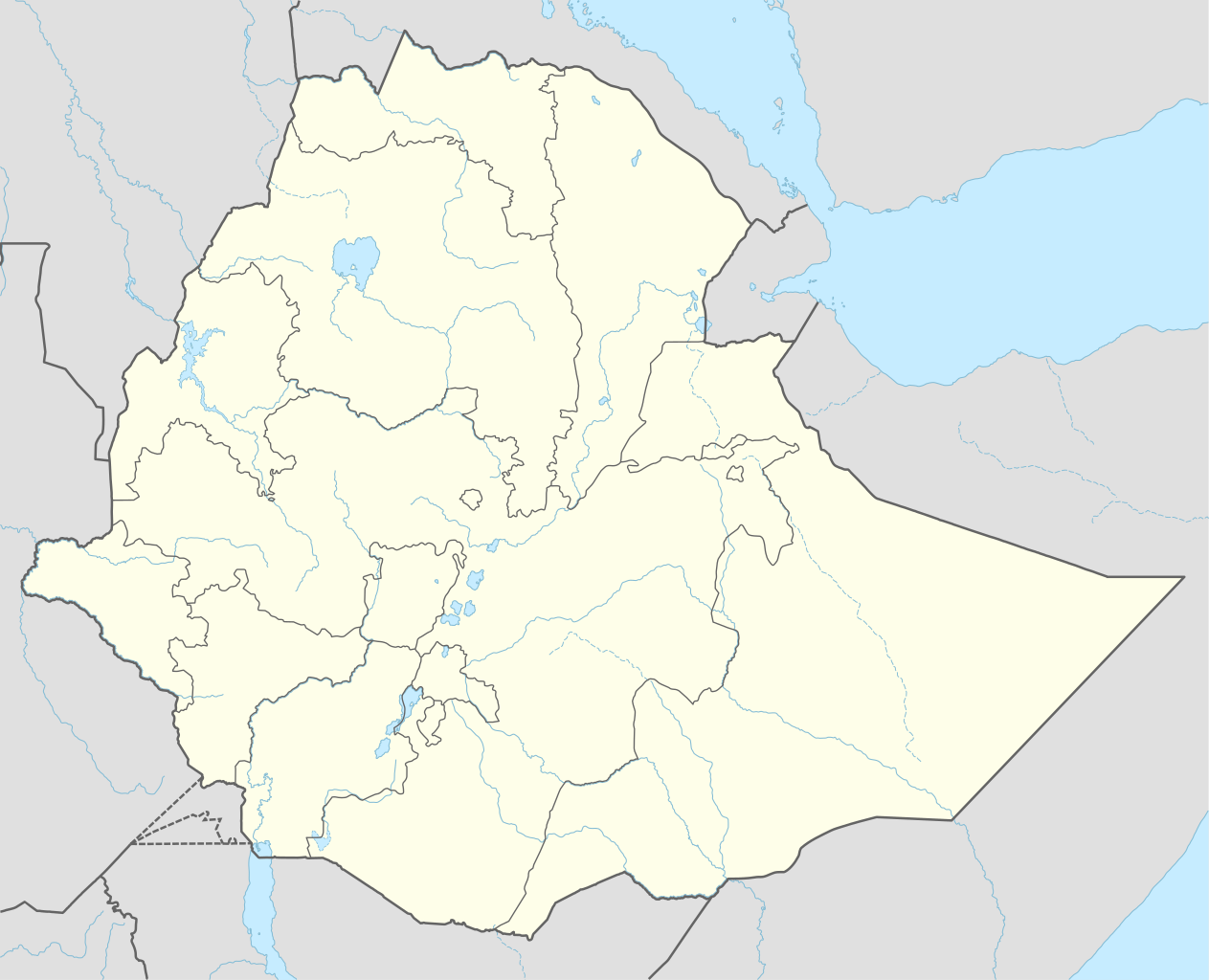
Deutsch: Positionskarte von Äthiopien
English: Location map of Ethiopia
|
||||||||||||
| תאריך יצירה | |||||||||||||
| מקור |
נוצר על ידי מעלה היצירה, תוך שימוש:
|
||||||||||||
| יוצר | NordNordWest | ||||||||||||
| גרסאות אחרות |
|
||||||||||||
_location_map.svg)
_location_map.svg)
_location_map.svg)


|
This map has been made or improved in the German Kartenwerkstatt (Map Lab). You can propose maps to improve as well.
|
רישיון
Usage of this file with:

explanatory notes: Legally binding is only the full legalcode. For a free usage I recommend to respect the following licence conditions:
1. Provide my name as given above: NordNordWest,
2. a copy of, or the URI for, the applicable license: https://creativecommons.org/licenses/by-sa/3.0/de/legalcode,
3. the title of the work,
4. in the case of an adaptation, a credit identifying the use of the work in the adaptation.
This license and the rights granted hereunder will terminate automatically upon any breach by you of the terms of this license. Any of the above conditions can be waived if you get permission from the copyright holder. If you have questions or wish differing conditions, please contact me through nnwest or my discussion page ![]() t-online.de
t-online.de
- הנכם רשאים:
- לשתף – להעתיק, להפיץ ולהעביר את העבודה
- לערבב בין עבודות – להתאים את העבודה
- תחת התנאים הבאים:
- ייחוס – יש לתת ייחוס הולם, לתת קישור לרישיון, ולציין אם נעשו שינויים. אפשר לעשות את זה בכל צורה סבירה, אבל לא בשום צורה שמשתמע ממנה שמעניק הרישיון תומך בך או בשימוש שלך.
- שיתוף זהה – אם תיצרו רמיקס, תשנו, או תבנו על החומר, חובה עליכם להפיץ את התרומות שלך לפי תנאי רישיון זהה או תואם למקור.

היסטוריית הקובץ
ניתן ללחוץ על תאריך/שעה כדי לראות את הקובץ כפי שנראה באותו זמן.
| תאריך/שעה | תמונה ממוזערת | ממדים | משתמש | הערה | |
|---|---|---|---|---|---|
| נוכחית | 19:11, 11 בספטמבר 2023 | | 1,494 × 1,843 (353 ק"ב) | NordNordWest | upd 2023 |
| 02:12, 30 בדצמבר 2021 |  | 1,494 × 1,843 (352 ק"ב) | NordNordWest | corr | |
| 04:59, 1 בדצמבר 2021 |  | 1,494 × 1,843 (359 ק"ב) | Ue3lman | New South West Region | |
| 17:45, 13 באוקטובר 2021 |  | 1,494 × 1,843 (349 ק"ב) | Gebagebo | Added dotted line to indicate Somaliland | |
| 12:09, 5 באפריל 2021 |  | 1,494 × 1,843 (345 ק"ב) | NordNordWest | . | |
| 12:41, 25 בנובמבר 2020 |  | 1,494 × 1,843 (350 ק"ב) | NordNordWest | + Sidama | |
| 22:00, 27 ביוני 2020 |  | 1,494 × 1,843 (350 ק"ב) | NordNordWest | upd | |
| 21:20, 25 במרץ 2015 |  | 1,494 × 1,843 (344 ק"ב) | NordNordWest | == {{int:filedesc}} == {{Information |Description= {{de|1=Positionskarte von Äthiopien}} {{en|1=Location map of Ethiopia}} {{Location map series N |stretching=102 |top=15.3 |bottom=2.9 |left=32.7 |right=48.3 }} |Source={{Own using}} * United States Na... |
שימוש בקובץ
הדפים הבאים משתמשים בקובץ הזה:
- אגאו מדר
- אדאמה
- אדיבו
- אדיס אבבה
- אוגדן
- אווסה
- אומו
- אמבה מריאם
- אמבובר
- אמבסל
- אמהרה (אזור היסטורי)
- אנגות
- אנדרתה
- אנטוטו
- אנפרז
- אסטלת המלך אזנה
- אצ'פר
- אקסום
- ארמצ'הו
- אתיופיה
- בגמדר
- בהר דר
- בלה
- בני שנגול
- ג'יג'יגה
- ג'ימה
- גדאו (אזור)
- גוג'ם
- גוזרה
- גונדר
- גורגורה
- גמו גופה
- גש עבי
- דברה זית
- דברה מרקוס
- דברה תבור
- דברק
- דירה דאווה
- דללול
- דמביה
- דנקז
- האובליסק של אקסום
- הנוף התרבותי של קונסו
- הרר
- הררג
- וג
- וגרה
- וולו
- וולקה
- ולקאית
- טייה
- טיסה 302 של אתיופיאן איירליינס
- טקוסה
- יחא
- ירגעלם
- כנסיית ביתה גיורגיס
- כנסיית גבירתנו מרים מציון
- לליבלה
- לסתה
- מחוז ארסי
- מחוז בלה
- מחוז ולגה (אתיופיה)
- ממלכת דמות
- מקלה (עיר)
- מרחצאות פאסילידס
- מתקל
- סגדה
- סכר הרנסאנס האתיופי הגדול
- סמן (אזור היסטורי)
- עגמה
- עדווה
- פאסיל גמב
- פוגרה
- צ'ילגה
- צלמת
- קווארה
- קוסקאם
- קלו
- קרב אמבה אלגי (1895)
- קרב עדווה
- ראס גמב
- שייח' חוסיין
- שירה (אזור היסטורי)
- תכזה
- תמביין
- תבנית:מפת מיקום/אתיופיה
שימוש גלובלי בקובץ
אתרי הוויקי השונים הבאים משתמשים בקובץ זה:
- שימוש באתר af.wikipedia.org
- שימוש באתר am.wikipedia.org