
קובץ:Montenegro Map.png

לקובץ המקורי (2,427 × 1,807 פיקסלים, גודל הקובץ: 1.03 מ"ב, סוג MIME: image/png)
| זהו קובץ שמקורו במיזם ויקישיתוף. תיאורו בדף תיאור הקובץ המקורי (בעברית) מוצג למטה. |
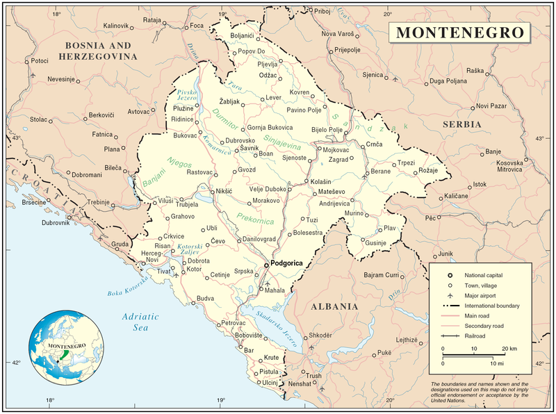
Map of Montenegro
| תיאור | Map of Montenegro | |||
| תאריך יצירה | ||||
| מקור | The Cartographic Section of the United Nations (CSUN) | |||
| יוצר | Cartographer of the United Nations | |||
| אישורים והיתרים (שימוש חוזר בקובץ זה) |
|

היסטוריית הקובץ
ניתן ללחוץ על תאריך/שעה כדי לראות את הקובץ כפי שנראה באותו זמן.
| תאריך/שעה | תמונה ממוזערת | ממדים | משתמש | הערה | |
|---|---|---|---|---|---|
| נוכחית | 20:03, 10 במרץ 2007 | | 1,807 × 2,427 (1.03 מ"ב) | Minestrone | Map of Montenegro {{Information |Description=Map of Montenegro |Source=The Cartographic Section of the United Nations (CSUN) |Date=2007-03-10 |Author=Cartographer of the United Nations |Permission={{Template:UN map}} and the cartographer of the UN [ |
שימוש בקובץ
![]() אין בוויקיפדיה דפים המשתמשים בקובץ זה.
אין בוויקיפדיה דפים המשתמשים בקובץ זה.
שימוש גלובלי בקובץ
אתרי הוויקי השונים הבאים משתמשים בקובץ זה:
- שימוש באתר als.wikipedia.org
- שימוש באתר ar.wikipedia.org
- שימוש באתר avk.wikipedia.org
- שימוש באתר be-tarask.wikipedia.org
- שימוש באתר bg.wikipedia.org
- שימוש באתר cs.wikipedia.org
- שימוש באתר cy.wikipedia.org
- שימוש באתר de.wikipedia.org
- שימוש באתר el.wikipedia.org
- שימוש באתר en.wikipedia.org
- שימוש באתר fa.wikipedia.org
- שימוש באתר fr.wikipedia.org
- שימוש באתר gag.wikipedia.org
- שימוש באתר gd.wikipedia.org
- שימוש באתר hr.wiktionary.org
- שימוש באתר ia.wikipedia.org
- שימוש באתר incubator.wikimedia.org
- שימוש באתר io.wikipedia.org
- שימוש באתר ka.wikipedia.org
- שימוש באתר la.wikipedia.org
- שימוש באתר ms.wikipedia.org
- שימוש באתר nl.wikipedia.org
- שימוש באתר pl.wikipedia.org
- שימוש באתר pl.wiktionary.org
- שימוש באתר pnb.wikipedia.org
- שימוש באתר ps.wikipedia.org
- שימוש באתר rm.wikipedia.org
- שימוש באתר roa-tara.wikipedia.org
- שימוש באתר ro.wikipedia.org
- שימוש באתר ro.wikivoyage.org
- שימוש באתר ru.wikipedia.org