
קובץ:BlankMap-World-with-Equator.svg

גודל התצוגה המקדימה הזאת מסוג PNG של קובץ ה־SVG הזה: 800 × 411 פיקסלים. רזולוציות אחרות: 320 × 164 פיקסלים | 640 × 329 פיקסלים | 1,024 × 526 פיקסלים | 1,280 × 657 פיקסלים | 2,560 × 1,314 פיקסלים.
לקובץ המקורי (קובץ SVG, הגודל המקורי: 2,560 × 1,314 פיקסלים, גודל הקובץ: 1.06 מ"ב)
| זהו קובץ שמקורו במיזם ויקישיתוף. תיאורו בדף תיאור הקובץ המקורי (בעברית) מוצג למטה. |

| תיאור |
|
||
| תאריך יצירה | |||
| מקור |
|
||
| יוצר | Derivative work of BlankMap-World.svg | ||
| אישורים והיתרים (שימוש חוזר בקובץ זה) |
|
||
| SVGהתפתחות |
יומן העלאה מקורי
This image is a derivative work of the following images:
- Image:BlankMap-World.svg licensed with PD-self
- 2008-12-02T18:21:18Z Lokal Profil 940x415 (1518276 Bytes) Reverted to version as of 14:51, 13 June 2008, new image has non of the complexity (i.e. colouring abilities etc.) of the old
- 2008-12-02T17:29:39Z Harbin 1326x601 (176022 Bytes)
- 2008-12-02T17:26:08Z Harbin 1425x625 (189017 Bytes)
- 2008-06-13T14:51:25Z Lokal Profil 940x415 (1518276 Bytes) Syncing with [[:Image:BlankMap-World6.svg]] version (01:30, March 29, 2008). Sadly enough the validator does not seem to like rdf element of the metadata although it should work acording to http://www.w3schools.com/rdf/rdf_ma
- 2008-02-08T20:55:35Z CarolSpears 940x415 (1528750 Bytes) validated, maybe
- 2007-12-14T19:51:17Z Lokal Profil 940x415 (1529675 Bytes) Readded an ocean object but this one is square instead of the original elliptic one
- 2007-12-14T19:19:56Z Lokal Profil 940x415 (1529845 Bytes) {{Information |Description=Detailed SVG map with grouping enabled to connect all non-contiguous parts of a country's territory for easy colouring. Smaller countries can also be represented by larger circles to show their data
היסטוריית הקובץ
ניתן ללחוץ על תאריך/שעה כדי לראות את הקובץ כפי שנראה באותו זמן.
| תאריך/שעה | תמונה ממוזערת | ממדים | משתמש | הערה | |
|---|---|---|---|---|---|
| נוכחית | 01:16, 14 במרץ 2019 | | 1,314 × 2,560 (1.06 מ"ב) | Cherkash | Reverted to version as of 00:05, 11 February 2019 (UTC) reverted an arbitrary drive-by revert |
| 02:52, 9 במרץ 2019 |  | 415 × 940 (1.47 מ"ב) | Dim Grits | Reverted to version as of 18:33, 27 December 2008 (UTC) | |
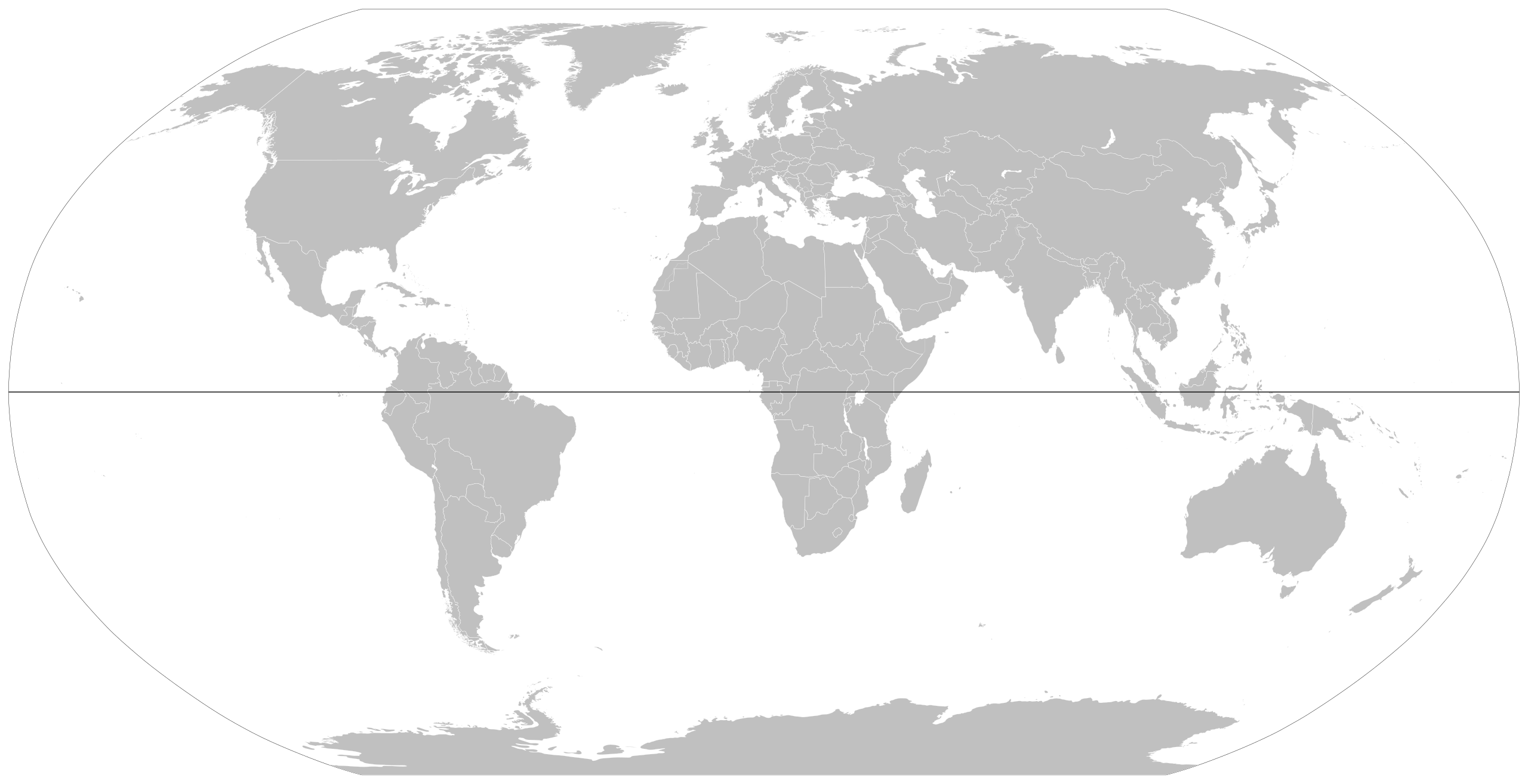
| 03:05, 11 בפברואר 2019 |  | 1,314 × 2,560 (1.06 מ"ב) | Cherkash | updated based on the latest version of the main blank world map (File:BlankMap-World.svg) | |
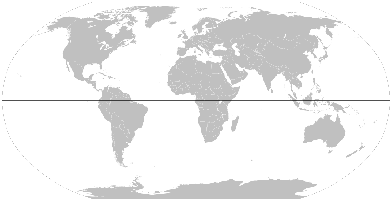
| 21:33, 27 בדצמבר 2008 |  | 415 × 940 (1.47 מ"ב) | Nakor | {{Information |Description= *{{en|World map showing equator.}} *{{fr|Carte du monde montrant la l'équateur.}} |Source= World map showing equator line |Source=*Image:BlankMap-World6,_compact.svg |Date=2008-12-27 18:26 (UTC) |Author=*derivative work: |
שימוש בקובץ
הדף הבא משתמש בקובץ הזה: