
קובץ:China Heilongjiang relief location map.png
גודל התצוגה המקדימה הזאת: 540 × 600 פיקסלים. רזולוציות אחרות: 216 × 240 פיקסלים | 432 × 480 פיקסלים | 691 × 768 פיקסלים | 922 × 1,024 פיקסלים | 2,000 × 2,222 פיקסלים.
לקובץ המקורי (2,000 × 2,222 פיקסלים, גודל הקובץ: 8.67 מ"ב, סוג MIME: image/png)
| זהו קובץ שמקורו במיזם ויקישיתוף. תיאורו בדף תיאור הקובץ המקורי (בעברית) מוצג למטה. |
| תיאור |
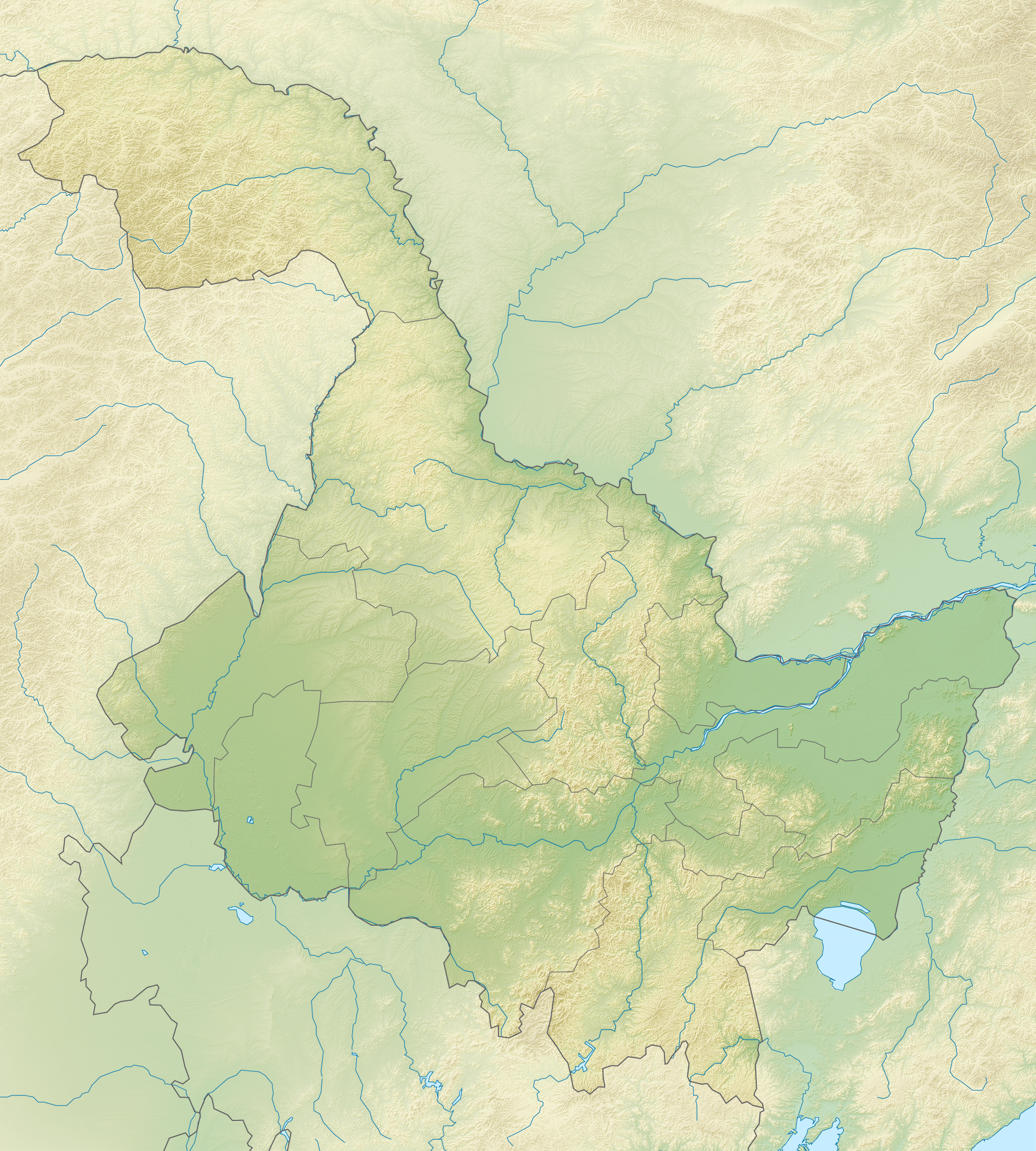
English: Location map of Heilongjiang, People's Republic of China Equirectangular projection, N/S stretching 141 %. True scale parallel: 45°00' N.
Geographic limits of the map:
|
| תאריך יצירה | (UTC) |
| מקור | |
| יוצר |
|
| זוהי תמונה מרוטשת, זאת אומרת שהתמונה שונתה בצורה דיגיטלית מהמקור. את התמונה המקורית ניתן לראות ב: China Heilongjiang location map.svg. השינוי בוצע על ידי Das steinerne Herz.
|
אני, בעל זכויות היוצרים על היצירה הזאת, מפרסם אותה בזאת תחת הרישיונות הבאים:
הקובץ הזה מתפרסם לפי תנאי רישיון קריאייטיב קומונז ייחוס-שיתוף זהה 3.0 לא מותאם.
- הנכם רשאים:
- לשתף – להעתיק, להפיץ ולהעביר את העבודה
- לערבב בין עבודות – להתאים את העבודה
- תחת התנאים הבאים:
- ייחוס – יש לתת ייחוס הולם, לתת קישור לרישיון, ולציין אם נעשו שינויים. אפשר לעשות את זה בכל צורה סבירה, אבל לא בשום צורה שמשתמע ממנה שמעניק הרישיון תומך בך או בשימוש שלך.
- שיתוף זהה – אם תיצרו רמיקס, תשנו, או תבנו על החומר, חובה עליכם להפיץ את התרומות שלך לפי תנאי רישיון זהה או תואם למקור.

|
מוענקת בכך הרשות להעתיק, להפיץ או לשנות את המסמך הזה, לפי תנאי הרישיון לשימוש חופשי במסמכים של גנו, גרסה 1.2 או כל גרסה מאוחרת יותר שתפורסם על־ידי המוסד לתוכנה חופשית; ללא פרקים קבועים, ללא טקסט עטיפה קדמית וללא טקסט עטיפה אחורית. עותק של הרישיון כלול בפרק שכותרתו הרישיון לשימוש חופשי במסמכים של גנו. |
הנכם מוזמנים לבחור את הרישיון הרצוי בעיניכם.
יומן העלאה מקורי
This image is a derivative work of the following images:
- File:China_Heilongjiang_location_map.svg licensed with Cc-by-sa-3.0, GFDL
- 2011-02-23T13:17:55Z Das steinerne Herz 260x289 (371882 Bytes) {{Information |Description ={{en|1=Heilongjiang_location_map}} |Source ={{own}} |Author =[[User:Das steinerne Herz|Das steinerne Herz]] |Date =2011-02-23 |Permission = |other_versions = }} [[
Uploaded with derivativeFX
היסטוריית הקובץ
ניתן ללחוץ על תאריך/שעה כדי לראות את הקובץ כפי שנראה באותו זמן.
| תאריך/שעה | תמונה ממוזערת | ממדים | משתמש | הערה | |
|---|---|---|---|---|---|
| נוכחית | 20:32, 24 בפברואר 2011 | | 2,222 × 2,000 (8.67 מ"ב) | Das steinerne Herz | {{Information |Description={{en|1=Location map of Heilongjiang, People's Republic of China Equirectangular projection, N/S stretching 141 %. True scale parallel: 45°00' N. Geographic limits of the |
שימוש בקובץ
הדף הבא משתמש בקובץ הזה:
שימוש גלובלי בקובץ
אתרי הוויקי השונים הבאים משתמשים בקובץ זה:
- שימוש באתר ba.wikipedia.org
- שימוש באתר bn.wikipedia.org
- שימוש באתר cs.wikipedia.org
- שימוש באתר cv.wikipedia.org
- שימוש באתר de.wikipedia.org
- שימוש באתר en.wikipedia.org
- Lake Khanka
- Mudanjiang
- Jingpo Lake
- Diaoshuilou Falls
- Lesser Khingan
- Module:Location map/data/China Heilongjiang/doc
- Module:Location map/data/China Heilongjiang
- Module:Location map/data/Heilongjiang
- User:Ty654/List of earthquakes from 2000-present exceeding magnitude 7+
- User:Ty654/List of earthquakes from 1940-1949 exceeding magnitude 6+
- User:Ty654/List of earthquakes from 1955-1959 exceeding magnitude 6+
- User:Ty654/List of earthquakes from 1980-1984 exceeding magnitude 6+
- User:Ty654/List of earthquakes from 2000-2004 exceeding magnitude 6+
- Zhangguangcai Range
- Northeast China Tiger and Leopard National Park
- שימוש באתר es.wikipedia.org
- שימוש באתר fa.wikipedia.org
- שימוש באתר fr.wikipedia.org
- שימוש באתר hu.wikipedia.org
- שימוש באתר ja.wikipedia.org
- שימוש באתר ko.wikipedia.org
- שימוש באתר lv.wikipedia.org
- שימוש באתר mn.wikipedia.org