
קובץ:Golfe Saint-Laurent en.png
אין גרסה ברזולוציה גבוהה יותר.
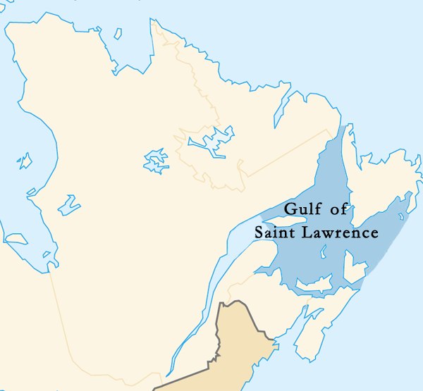
Golfe_Saint-Laurent_en.png (600 × 555 פיקסלים, גודל הקובץ: 101 ק"ב, סוג MIME: image/png)
| זהו קובץ שמקורו במיזם ויקישיתוף. תיאורו בדף תיאור הקובץ המקורי (בעברית) מוצג למטה. |
| תיאור | |||||||||
| תאריך יצירה | |||||||||
| מקור | Image:Canada (geolocalisation).svg | ||||||||
| יוצר | Benoit Rochon | ||||||||
| אישורים והיתרים (שימוש חוזר בקובץ זה) |
|
||||||||
| גרסאות אחרות |
|

.svg)
היסטוריית הקובץ
ניתן ללחוץ על תאריך/שעה כדי לראות את הקובץ כפי שנראה באותו זמן.
| תאריך/שעה | תמונה ממוזערת | ממדים | משתמש | הערה | |
|---|---|---|---|---|---|
| נוכחית | 00:35, 12 במרץ 2015 | | 555 × 600 (101 ק"ב) | Palaeozoic99 | Changed outline of the Gulf of St. Lawrence to confirm with the International Hydrographic Organization, which defines the limits of the Gulf of Saint Lawrence as follows: On the Northeast. A line running from Cape Bauld (North point of Kirpon Island,... |
| 05:43, 15 במרץ 2008 |  | 555 × 600 (102 ק"ב) | Brochon99 | == Description == {{Information |Description= *{{de|Karte {{wde|Sankt-Lorenz-Golf}}, {{wde|Québec}} }} *{{en|Map {{wen|Gulf of Saint Lawrence}}, {{wen|Quebec}} }} *{{fr|Carte {{wfr|Golfe du Saint-Laurent}}, {{wfr|Québec}} }} *{{ja|地図 {{wja|セント |
שימוש בקובץ
![]() אין בוויקיפדיה דפים המשתמשים בקובץ זה.
אין בוויקיפדיה דפים המשתמשים בקובץ זה.
שימוש גלובלי בקובץ
אתרי הוויקי השונים הבאים משתמשים בקובץ זה:
- שימוש באתר af.wikipedia.org
- שימוש באתר ang.wikipedia.org
- שימוש באתר ar.wikipedia.org
- שימוש באתר bg.wikipedia.org
- שימוש באתר bn.wikipedia.org
- שימוש באתר cy.wikipedia.org
- שימוש באתר de.wikipedia.org
- שימוש באתר en.wikipedia.org
- שימוש באתר et.wikipedia.org
- שימוש באתר fi.wikipedia.org
- שימוש באתר fr.wikipedia.org
- שימוש באתר hu.wikipedia.org
- שימוש באתר ilo.wikipedia.org
- שימוש באתר is.wikipedia.org
- שימוש באתר ka.wikipedia.org
- שימוש באתר la.wikipedia.org
- שימוש באתר mk.wikipedia.org
- שימוש באתר ml.wikipedia.org
- שימוש באתר pa.wikipedia.org
- שימוש באתר pl.wiktionary.org
- שימוש באתר pnb.wikipedia.org
- שימוש באתר simple.wikipedia.org
- שימוש באתר sv.wikipedia.org
- שימוש באתר sw.wikipedia.org
- שימוש באתר ta.wikipedia.org
- שימוש באתר uk.wikipedia.org
- שימוש באתר ur.wikipedia.org
- שימוש באתר vi.wikipedia.org
- שימוש באתר war.wikipedia.org
- שימוש באתר xmf.wikipedia.org
- שימוש באתר zh-min-nan.wikipedia.org
- שימוש באתר zh-yue.wikipedia.org