
קובץ:Middle America relief location map.png
גודל התצוגה המקדימה הזאת: 800 × 538 פיקסלים. רזולוציות אחרות: 320 × 215 פיקסלים | 640 × 430 פיקסלים | 1,024 × 688 פיקסלים | 1,280 × 860 פיקסלים | 2,000 × 1,344 פיקסלים.
לקובץ המקורי (2,000 × 1,344 פיקסלים, גודל הקובץ: 3.56 מ"ב, סוג MIME: image/png)
| זהו קובץ שמקורו במיזם ויקישיתוף. תיאורו בדף תיאור הקובץ המקורי (בעברית) מוצג למטה. |
תקציר
| תיאור |
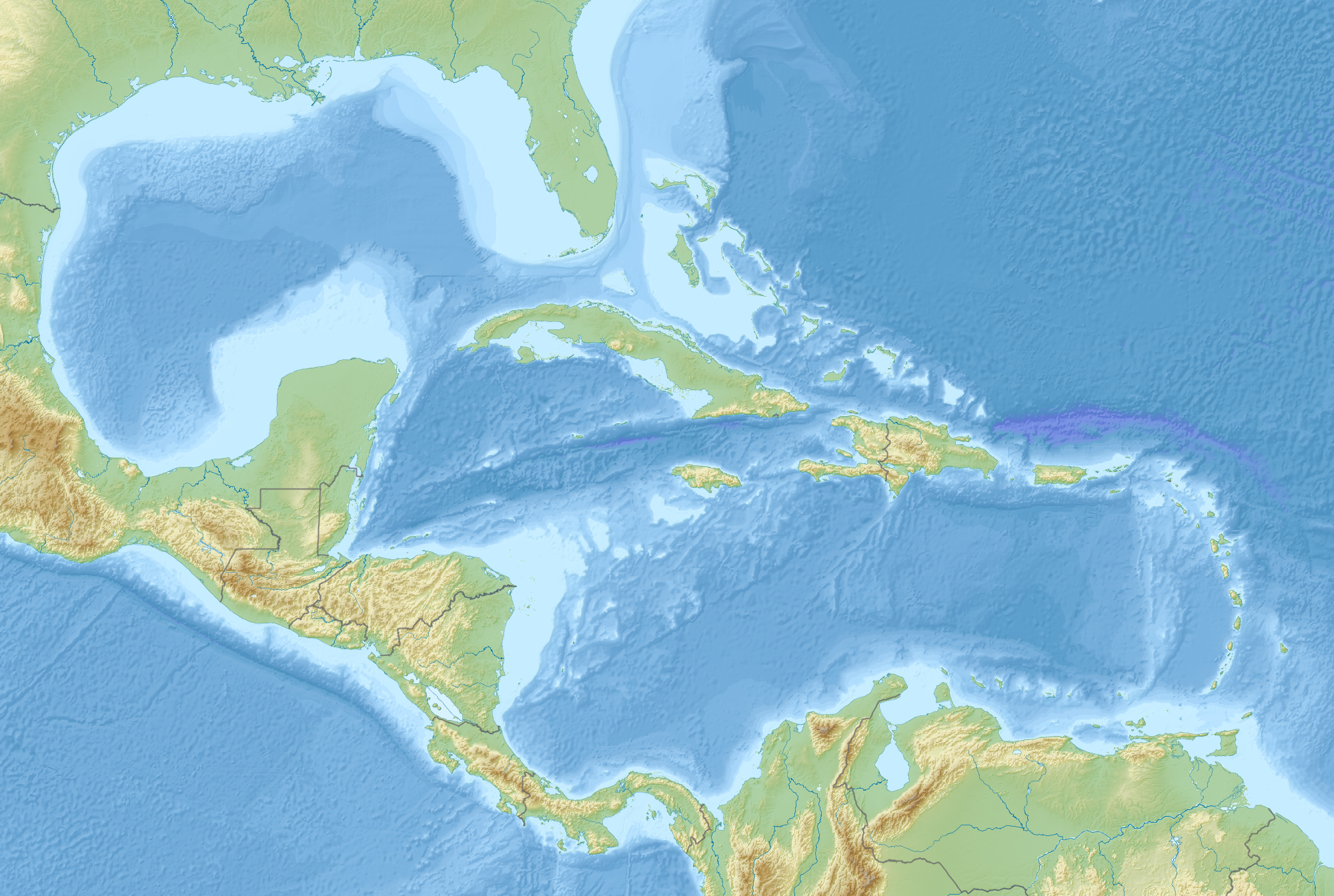
English: Map of Middle America, including the Gulf of Mexico and the Caribbean Sea, with the addition of national borders.
Equirectangular projection. Strechted by 106.0%. Geographic limits of the map:
Relief: ETOPO1. Coastline, borders, rivers etc: Made with Natural Earth. Free vector and raster map data @ naturalearthdata.com. |
| תאריך יצירה | |
| מקור | נוצר על־ידי מעלה היצירה |
| יוצר | Uwe Dedering |
רישיון
אני, בעל זכויות היוצרים על עבודה זו, מפרסם בזאת את העבודה תחת הרישיון הבא:
הקובץ הזה מתפרסם לפי תנאי רישיון קריאייטיב קומונז ייחוס-שיתוף זהה 3.0 לא מותאם.
- הנכם רשאים:
- לשתף – להעתיק, להפיץ ולהעביר את העבודה
- לערבב בין עבודות – להתאים את העבודה
- תחת התנאים הבאים:
- ייחוס – יש לתת ייחוס הולם, לתת קישור לרישיון, ולציין אם נעשו שינויים. אפשר לעשות את זה בכל צורה סבירה, אבל לא בשום צורה שמשתמע ממנה שמעניק הרישיון תומך בך או בשימוש שלך.
- שיתוף זהה – אם תיצרו רמיקס, תשנו, או תבנו על החומר, חובה עליכם להפיץ את התרומות שלך לפי תנאי רישיון זהה או תואם למקור.
היסטוריית הקובץ
ניתן ללחוץ על תאריך/שעה כדי לראות את הקובץ כפי שנראה באותו זמן.
| תאריך/שעה | תמונה ממוזערת | ממדים | משתמש | הערה | |
|---|---|---|---|---|---|
| נוכחית | 12:14, 19 באוגוסט 2010 | | 1,344 × 2,000 (3.56 מ"ב) | Uwe Dedering | {{Information |Description={{en|1=Map of Middle America, including the Gulf of Mexico and the Carribean Sea. Equirectangular projection. Strechted by 106.0%. Geographic limits of the map: * N: 32.0° N * S: 6.0° N * W: 99.0° W * E: 58.0° W Relief: [ |
שימוש בקובץ
הדפים הבאים משתמשים בקובץ הזה:
שימוש גלובלי בקובץ
אתרי הוויקי השונים הבאים משתמשים בקובץ זה:
- שימוש באתר ar.wikipedia.org
- שימוש באתר az.wikipedia.org
- שימוש באתר ba.wikipedia.org
- שימוש באתר ceb.wikipedia.org
- שימוש באתר ce.wikipedia.org
- שימוש באתר de.wikipedia.org
- שימוש באתר en.wikipedia.org
- 2006 Gulf of Mexico earthquake
- American Mediterranean Sea
- Module:Location map/data/Middle America/doc
- San Esteban (1554 shipwreck)
- 2004 Les Saintes earthquake
- 1843 Guadeloupe earthquake
- Module:Location map/data/Middle America
- 1867 Virgin Islands earthquake and tsunami
- 1839 Martinique earthquake
- Maya Block
- Yucatán Platform
- שימוש באתר es.wikipedia.org
- שימוש באתר et.wikipedia.org
- שימוש באתר fr.wikipedia.org