
קובץ:South Africa Free State relief location map.svg

גודל התצוגה המקדימה הזאת מסוג PNG של קובץ ה־SVG הזה: 672 × 599 פיקסלים. רזולוציות אחרות: 269 × 240 פיקסלים | 538 × 480 פיקסלים | 861 × 768 פיקסלים | 1,148 × 1,024 פיקסלים | 2,296 × 2,048 פיקסלים | 1,130 × 1,008 פיקסלים.
לקובץ המקורי (קובץ SVG, הגודל המקורי: 1,130 × 1,008 פיקסלים, גודל הקובץ: 2.24 מ"ב)
| זהו קובץ שמקורו במיזם ויקישיתוף. תיאורו בדף תיאור הקובץ המקורי (בעברית) מוצג למטה. |
| תיאור |
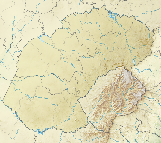
English: Relief location map of the Free State
Equirectangular projection, N/S stretching 114%. Geographic limits of the map:
|
| תאריך יצירה | |
| מקור | |
| יוצר | Htonl |
| אישורים והיתרים (שימוש חוזר בקובץ זה) |
אני, בעל זכויות היוצרים על עבודה זו, מפרסם בזאת את העבודה תחת הרישיון הבא: הקובץ הזה מתפרסם לפי תנאי רישיון קריאייטיב קומונז ייחוס-שיתוף זהה 3.0 לא מותאם.
|
| גרסאות אחרות | File:South Africa Free State location map.svg |
היסטוריית הקובץ
ניתן ללחוץ על תאריך/שעה כדי לראות את הקובץ כפי שנראה באותו זמן.
| תאריך/שעה | תמונה ממוזערת | ממדים | משתמש | הערה | |
|---|---|---|---|---|---|
| נוכחית | 02:58, 6 בינואר 2013 | | 1,008 × 1,130 (2.24 מ"ב) | Htonl | {{Information |Description ={{en|1=Relief location map of the Free State Equirectangular projection, N/S stretching 114%. Geographic limits of the map: * N: 26.5° S * S: 31° S * W: 24.25° E * E: 30° E}} |Source ... |
שימוש בקובץ
הדפים הבאים משתמשים בקובץ הזה:
שימוש גלובלי בקובץ
אתרי הוויקי השונים הבאים משתמשים בקובץ זה:
- שימוש באתר ar.wikipedia.org
- שימוש באתר bg.wikipedia.org
- שימוש באתר ceb.wikipedia.org
- שימוש באתר de.wikipedia.org
- שימוש באתר en.wikipedia.org
- Phuthaditjhaba
- 1 Special Service Battalion
- Golden Gate Highlands National Park
- Caledon Nature Reserve
- Sandveld Nature Reserve
- Koppies Dam Nature Reserve
- Koppies Dam
- Module:Location map/data/South Africa Free State/doc
- Willem Pretorius Game Reserve
- Kroonstad Airport
- Module:Location map/data/South Africa Free State
- Schoeman Park Open
- 2022 Jagersfontein dam collapse
- שימוש באתר eo.wikipedia.org
- שימוש באתר es.wikipedia.org
- שימוש באתר frr.wikipedia.org
- שימוש באתר fr.wikipedia.org
- שימוש באתר ja.wikipedia.org
- שימוש באתר kn.wikipedia.org
- שימוש באתר lv.wikipedia.org
- שימוש באתר os.wikipedia.org
- שימוש באתר pl.wikipedia.org
- שימוש באתר pl.wikibooks.org
- שימוש באתר ru.wikipedia.org
- שימוש באתר si.wikipedia.org
- שימוש באתר ta.wikipedia.org