
קובץ:New York's Finger Lakes.jpg

גודל התצוגה המקדימה הזאת: 800 × 554 פיקסלים. רזולוציות אחרות: 320 × 222 פיקסלים | 640 × 444 פיקסלים | 1,000 × 693 פיקסלים.
לקובץ המקורי (1,000 × 693 פיקסלים, גודל הקובץ: 952 ק"ב, סוג MIME: image/jpeg)
| זהו קובץ שמקורו במיזם ויקישיתוף. תיאורו בדף תיאור הקובץ המקורי (בעברית) מוצג למטה. |
| תיאור |
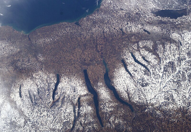
New York's Finger Lakes |
| תאריך יצירה | |
| מקור | NASA |
| יוצר | NASA |
This image or video was catalogued by one of the centers of the United States National Aeronautics and Space Administration (NASA) under Photo ID: ISS010-E-9366. This tag does not indicate the copyright status of the attached work. A normal copyright tag is still required. See Commons:Licensing. Other languages:
|
| קובץ זה נמצא ברשות הציבור מכיוון שהוא נוצר על ידי נאס"א. מדיניות זכויות היוצרים של נאס"א קובעת ש"חומרים של NASA אינם מוגנים בזכויות יוצרים אלא אם צוין אחרת". (דף מדיניות זכויות היוצרים ב-NASA או מדיניות שימוש בתמונות ב-JPL). | ||
 |
אזהרות:
|
היסטוריית הקובץ
ניתן ללחוץ על תאריך/שעה כדי לראות את הקובץ כפי שנראה באותו זמן.
| תאריך/שעה | תמונה ממוזערת | ממדים | משתמש | הערה | |
|---|---|---|---|---|---|
| נוכחית | 06:39, 24 בדצמבר 2004 | | 693 × 1,000 (952 ק"ב) | Chris 73 | nasa |
שימוש בקובץ
הדף הבא משתמש בקובץ הזה:
שימוש גלובלי בקובץ
אתרי הוויקי השונים הבאים משתמשים בקובץ זה:
- שימוש באתר ar.wikipedia.org
- שימוש באתר azb.wikipedia.org
- שימוש באתר bg.wikipedia.org
- שימוש באתר ca.wikipedia.org
- שימוש באתר cs.wikipedia.org
- שימוש באתר de.wikipedia.org
- שימוש באתר en.wikipedia.org
- שימוש באתר en.wikivoyage.org
- שימוש באתר es.wikipedia.org
- שימוש באתר fa.wikipedia.org
- שימוש באתר fr.wikipedia.org
- שימוש באתר he.wikivoyage.org
- שימוש באתר it.wikipedia.org
- שימוש באתר ja.wikipedia.org
- שימוש באתר lfn.wikipedia.org
- שימוש באתר ml.wikipedia.org
- שימוש באתר mr.wikipedia.org
- שימוש באתר nl.wikipedia.org
- שימוש באתר pl.wikipedia.org
- שימוש באתר ru.wikipedia.org
- שימוש באתר simple.wikipedia.org
- שימוש באתר sv.wikipedia.org
- שימוש באתר ta.wikipedia.org
- שימוש באתר uk.wikipedia.org
- שימוש באתר vi.wikipedia.org
- שימוש באתר www.wikidata.org
- שימוש באתר zh.wikivoyage.org